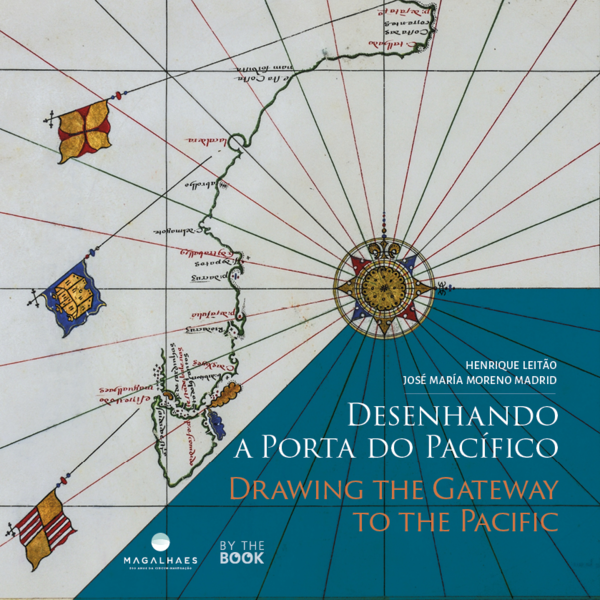
Drawing the Gateway to the Pacific. Maps, Charts and Other Visual Representations of the Strait of Magellan
- Author(s)
Henrique Leitão e José María Moreno Madrid
- Publisher
- By the Book
- Year
- 2021
- Nr. of Pages
- 272
- ISBN
- 978-989-53093-6-8

Abstract
Drawing the Gateway to the Pacific brings together around seventy nautical charts, maps and other visual representations of the Strait of Magalhães, drawn in the period between 1520 and 1671. A monumental work, both for the beauty of the iconography and for the unprecedented study now published. This bilingual work is profusely illustrated and reveals the usefulness of cartography as rare, unique and admirable pieces from the 16th and 17th centuries. The reader will find a precious collection of reproductions of the most representative cartography in the world of the Magellanic period. These visual representations, dispersed in museums and archives, were studied by the Authors, who focus on how the Strait of Magalhães led to an increase in the Construction of the geographical image (…) for the representation of a more global world, interconnected by immense routes across oceans once considered insurmountable.