Saltar para o conteúdo

How Large Was the Earth in the Sixteenth Century? The Length of the Degree of Latitude in the Iberian Cartography of the Renaissance

Autoria

Joaquim Alves Gaspar

Ano
2016
Periódico

The Cartographic Journal, Vol. 52, Nº 4

Nº de Páginas
318-324
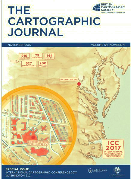
How Large Was the Earth in the Sixteenth Century? The Length of the Degree of Latitude in the Iberian Cartography of the Renaissance, Capa

Abstract

In this paper, the results of a cartometric analysis of a number of Portuguese and Spanish charts of the sixteenth and seventeenth centuries are presented and conclusions are drawn concerning the length of the degree of latitude adopted in the Iberian nautical cartography of the Renaissance. Under the light of what we know about the navigational and charting methods of the time, a new interpretation of the textual and cartographic sources is proposed. Rather than being the result of technical considerations or precise measurements, the adoption of the various standards during this long period appears to be no more than the echoes of the traditional models of the Earth and of the political disputes between Portugal and Spain.

  • https://doi.org/10.1080/00087041.2015.1108657
  • Notícias
  • Agenda
  • Apresentação
    • Programa científico
    • Sustentabilidade
    • Logótipo
    • Relatórios
  • Membros
  • Investigação
  • Conferências
    • Distinguished Lectures
    • Conferências CIUHCT
    • Journal Club
    • Seminário Helena Avelar
    • Jardins, Paisagens e Ambiente
    • Mathematical Cultures
    • Conferências Corpus Medici
    • O Arquivo e o Historiador
    • Ciência e Império
    • Cultura Material
    • Medea Chart
    • Outros ciclos
  • Congressos
  • Publicações
    • Livros
    • Artigos
    • Revistas
  • Divulgação
    • Exposições
    • Multimédia
  • Formação
    • Oferta pedagógica
    • Dissertações
    • Cursos livres
  • Recursos
    • Bases de dados
    • Fontes e documentação
    • Links sugeridos
    • Roteiros
  • Contactos
  • Dicionário
  • Newsletter
pt en